Tennessee County Map, 1840
2002

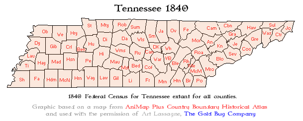
In this map, Tennessee’s boundaries are contemporary with today’s. This also supports the idea portrayed in our biography that Memucan Hunt Howard had a direct relationship with the boundaries being created in Western Tennessee, and the lack thereof. Memucan Hunt Howard had retired from land surveying in 1836, thus there was no new land surveyed. It is reasonable to assume that due to the completed boundaries in the Western District during the 1830s, Memucan Hunt Howard was forced to retire as there was no work to complete. Therefore, it can be assumed that when Howard is working as a surveyor, Tennessee boundaries are affected, and when Tennessee has no land to be surveyed, Howard is affected.
citation
“Tennessee 1840.” TNGenWeb, TNGenNet Inc, Publication date, https://www.tngenweb.org/maps/census/tn1840.gif.
